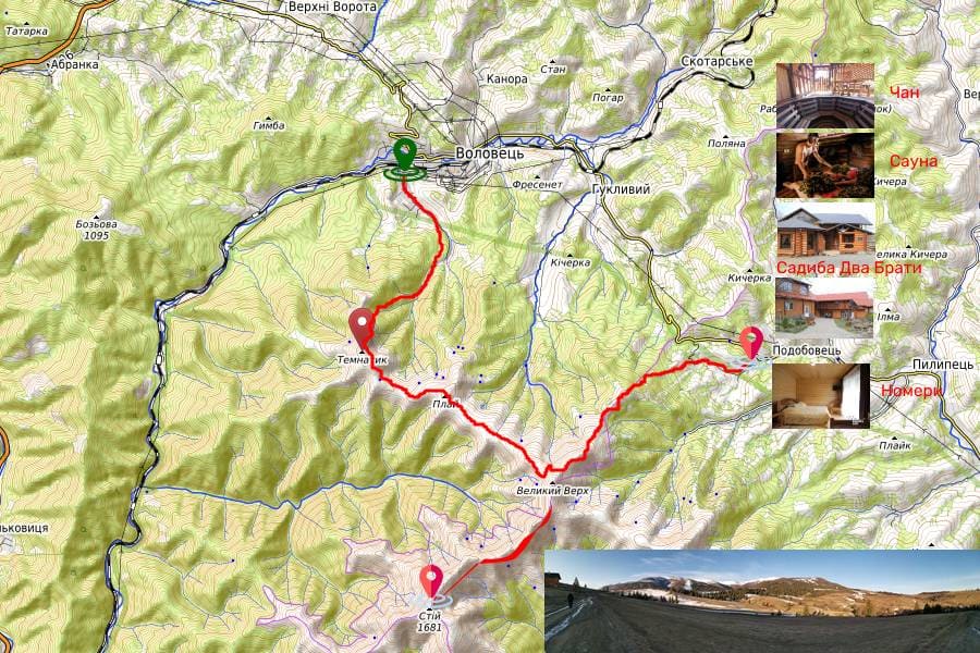

Using the main highway Kyiv-Chop M 06 or E 50, you need to get to the village. Lower Gate, where to return to the highway T 07 18, according to the sign – Volovets (10 km). In the center of the village, turn right towards the train station. It is convenient to get to the village of Volovets by local electric train or intercity trains. Volovets station is located on the line of intensive connection Chop, Uzhgorod, Lviv, Kyiv, Moscow.
Volovets urban-type settlement is connected with the neighboring district centers of Mukachevo, Svalyava, Mizhhirya and the regional center of Uzhgorod by a reliable bus service.
From the train station you should take the direction to the south, towards the forest and in the direction of the Orthodox cross (course 199 °), set on the hillside. Carefully cross the railway tracks, making sure that locomotives do not move on them. Then, after passing through several streets around Volovets, you go out on an open slope and go in the direction of the forest (course 203 °). After 170 meters, change course by 172 °.
At the 2nd kilometer you enter the forest on a path (course 208 °), move 350 meters in a southerly direction, pass near the source, then move 100 meters in a westerly direction, turn back to the south course (210 °) and begin to climb up. In rainy weather, the ascent of this slope is sharply complicated. Exit to the mountain Stop. View from the north-western slope. At the 3rd kilometer, at an altitude of 946 meters above sea level, we leave the forest and move at a rate of 240 °. Another 1 km. a path that winds among bushes and stones and reaches a small peak, topped by an Orthodox cross welded from metal pipes. This symbol of Orthodoxy seemed to soar into the sky and hovered over the entire Volovets Valley.
In the northwest you can clearly see the mountains Polonyna Runa, Acute, Pikuy. Behind the western ridges are the cities of Svalyava and Mukachevo.
We descend from Temnatyk on a southern slope and a course of 146 °. After 1.5 km we reach a descent (1,194 m), then change course by 108 °. We pass the next 350 m and again change course by 57 °. After 300 meters, the trail leads to a traverse road that goes southwest along the slope of g. Play.
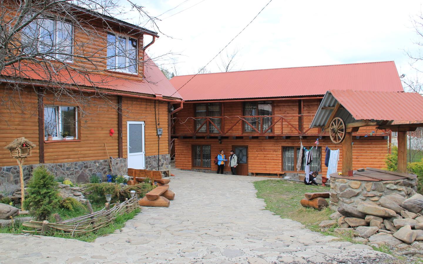
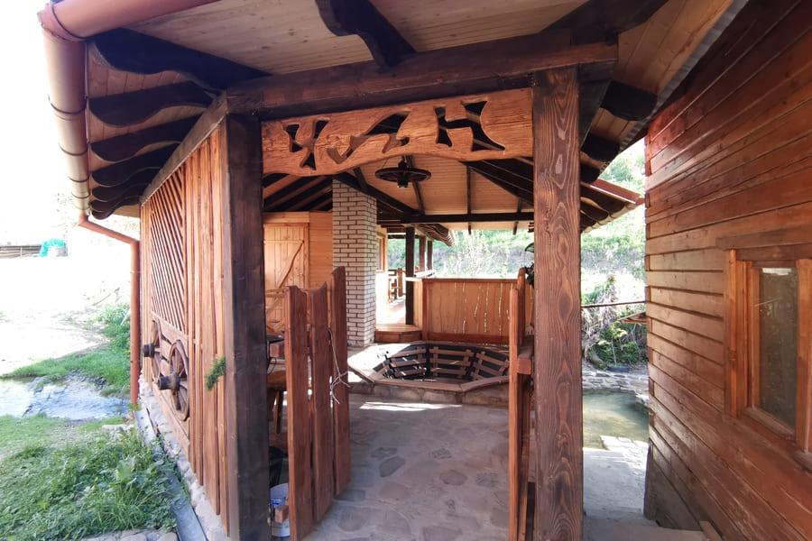
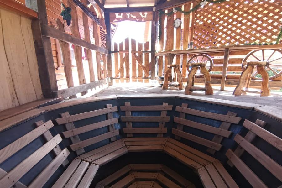
Here, at Play, in the building of the repeater, we recommend to make a stop for the night. The next day you have to walk almost 22 km, which will take about 11 hours.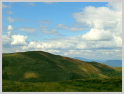
From Mount Play we go all the time at 127 ° to the very top of the Big Top (3.7 km). At the very top of the Big Top is a small metal structure in the form of a pyramid. From the top you can see the entire ridge of the Borzhava mountain meadow, curved in a semicircle from southeast to southwest. To the north and northeast of the summit are the villages of Huklyve and Podobovets, respectively. From Velikiy Verkh to Stand 3.85 km. way.
Then continue moving in the direction of 185 ° to the south. We pass 500 meters downhill and change course by 204 °. From this place, the trail mainly passes through the upper part of the ridge, several times descending vertically and rising within 150 meters. 500 meters before the very top of the Stoi trail turns from the ridge to the left to the south. Passing the traverse of the southern slope of the mountain in 30 minutes you will definitely come to a dirt and rocky road, which goes right up to the top. The last leg of the way to the goal is quite steep.
At the top of Mount Stoi there is a reinforced concrete five-meter memorial sign. Here you can see the remains of a former military strategic object – a long-range radar station.
We return to the beginning of the route in the same way. Using the familiar trails, we will be able to increase the speed and reduce the time to reach the village of Volovets.